Melkøya environmental monitoring programme for precipitation, vegetation and soil 2025-2028
Equinor Hammerfest LNG on Melkøya is required to monitor the mercury content in precipitation, vegetation, soil and freshwater fish. The requirement is in connection with changes in the emission permit.
The project will last four years, from 2025 to 2028, and is a collaboration with Akvaplan-niva in Tromsø.
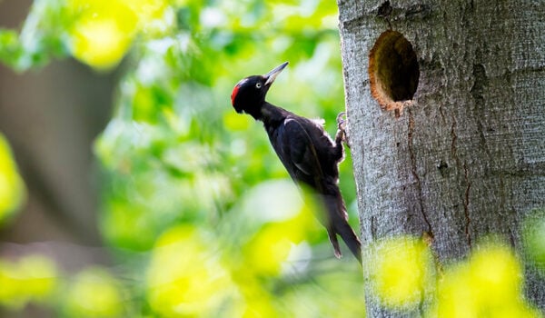
The purpose of the project is to map the levels of mercury (Hg), lead (Pb) and polycyclic aromatic hydrocarbons (PAH) in precipitation, vegetation, soil, freshwater, freshwater fish and sediment, as well as Hg in air at five sites located around Melkøya.
The goal is to obtain updated knowledge about the environmental impact of Equinor’s emissions from the LNG plant.
The stations are located between 6 and 20 km from Melkøya. The sampling locations are common to the entire measurement programme, i.e. the programme maps the distribution of components in air, precipitation, vegetation, soil and the freshwater environment.
The samples are taken during the frost-free period between June and September each year for four years.