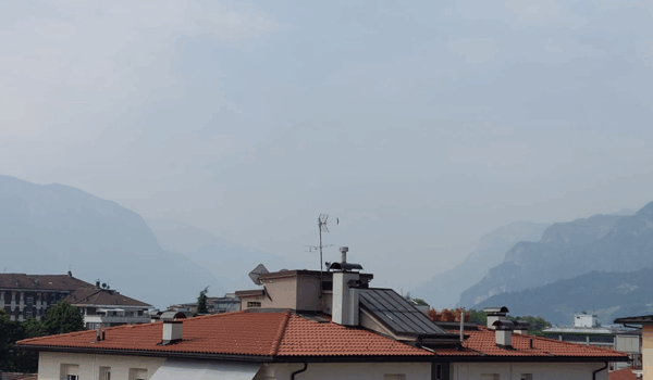
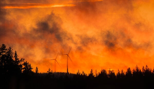
Satellite observations reveal where in the world fires are burning and where their smoke travels.
NILU in Norway contributes to the science behind Copernicus Fire Emissions Watch, while colleagues from Clean Air Asia bring valuable knowledge about the effects of air pollution from the ground.
Copernicus, the European Union’s Earth observation program, combines satellite observations, ground measurements and computer models to understand our changing environment.
The Copernicus Atmosphere Monitoring Service (CAMS) monitors fire emissions and forecasts how smoke spreads, thus helping explain air pollution far beyond the fires themselves.
From fire to atmospheric footprint
At the center of this work is the Global Fire Assimilation System (GFAS), CAMS’ fire emission estimation service. It is operated hourly by the European Centre for Medium-Range Weather Forecasts (ECMWF). The lead developer of the GFAS system is Dr Johannes Kaiser at NILU.
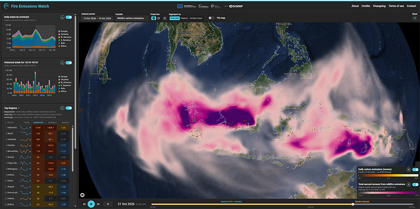
GFAS converts satellite observations of thermal radiation from fires into emission estimates. These estimates underpin the new Copernicus tool Fire Emissions Watch, which presents fire-emission data alongside forecasts of smoke plumes.
Indonesian fires illustrate the importance
The 2026 fires in Indonesia, including Kalimantan and Sumatra, illustrate why this is useful.
These fires cause local and regional air pollution, but wind will also carry the smoke across borders towards neighboring countries, including Singapore, Malaysia and the Philippines. Satellite observations and atmospheric forecasts help scientists connect fires on the ground with air pollution affecting communities across Southeast Asia.
The smoke contains fine particulate matter, known as PM2.5, while chemical reactions in smoke plumes can also produce ground-level ozone. Both pollutants can be harmful to human health. This makes information about the location of smoke essential for understanding risks to people in affected areas.
Collaboration across continents
NILU in Norway works closely with Clean Air Asia, whose teams address air quality challenges on the ground. Their local knowledge and observations complement satellite information and atmospheric modelling, helping scientists assess how cross-border smoke events may develop and what they mean for affected communities.
Together, observations from space and local expertise provide a stronger basis for understanding fire haze and supporting informed responses.